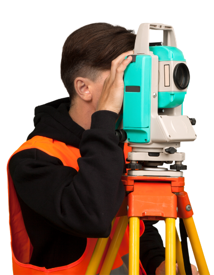


Geodesy in construction
- thematic maps
- measuring of the current state of the buildings
- floor and vertical sections, views of facade
- engineering geodesy
- volume computation
- terrestrial photogrammetry
Geodesy in Land Registry(Cadastre of real estates)
- allotment, land title plans
- survey sketch
- land adaptation
English