- All outputs are realized in digital form, usually in AutoCAD (*. dwg, *. dxf) or (Bentley Systems) Microstation (*. dgn), and can be produced in a variety of formats to meet your individual needs. The 3D model is realized in an environment of Google SketchUp (freeware) and can therefore be launched online or can be used by any client web-site or for presentations.
- Photogrammetric evaluations are carried out in the program Elco Vision (Photo Mess Systeme, Switzerland)
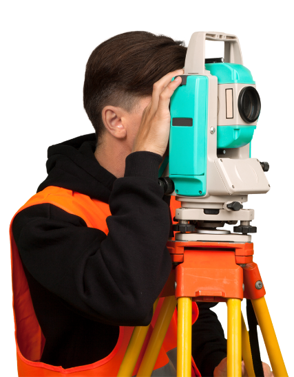
- All measurements are attached to a coordinate system and elevation by means of the GPS technology
- Documentation of the current state of the buildings is quite comprehensive, including links to the surrounding situation and is thus an essential basis for further design and restoration work
- Processed data can be presented in Google Maps, Google 3D Warehouse and can add a direct link to Wikipedia
English


