Etiam consectetur hendrerit arcu, et tristique ipsum scelerisque a. Nullam aliquet sodales eros, id tincidunt dui viverra vel. Maecenas finibus erat nec facilisis aliquam.
Warning: include_once(/home/html/geostarpraha.cz/public_html/sites/all/themes/Geostar_2019_1/includes/hmenu_4.php): failed to open stream: No such file or directory ve funkci include_once() (řádek: 124 v souboru /home/html/geostarpraha.cz/public_html/sites/all/themes/Geostar_2019_1/template.php).
Warning: include_once(): Failed opening '/home/html/geostarpraha.cz/public_html/sites/all/themes/Geostar_2019_1/includes/hmenu_4.php' for inclusion (include_path='.:/usr/share/php') ve funkci include_once() (řádek: 124 v souboru /home/html/geostarpraha.cz/public_html/sites/all/themes/Geostar_2019_1/template.php).
Warning: call_user_func_array() expects parameter 1 to be a valid callback, function 'Geostar_2019_1_hmenu_4' not found or invalid function name ve funkci Geostar_2019_1_render_template_from_includes() (řádek: 125 v souboru /home/html/geostarpraha.cz/public_html/sites/all/themes/Geostar_2019_1/template.php).
Warning: include_once(/home/html/geostarpraha.cz/public_html/sites/all/themes/Geostar_2019_1/includes/footer_1.php): failed to open stream: No such file or directory ve funkci include_once() (řádek: 124 v souboru /home/html/geostarpraha.cz/public_html/sites/all/themes/Geostar_2019_1/template.php).
Warning: include_once(): Failed opening '/home/html/geostarpraha.cz/public_html/sites/all/themes/Geostar_2019_1/includes/footer_1.php' for inclusion (include_path='.:/usr/share/php') ve funkci include_once() (řádek: 124 v souboru /home/html/geostarpraha.cz/public_html/sites/all/themes/Geostar_2019_1/template.php).
Warning: call_user_func_array() expects parameter 1 to be a valid callback, function 'Geostar_2019_1_footer_1' not found or invalid function name ve funkci Geostar_2019_1_render_template_from_includes() (řádek: 125 v souboru /home/html/geostarpraha.cz/public_html/sites/all/themes/Geostar_2019_1/template.php).
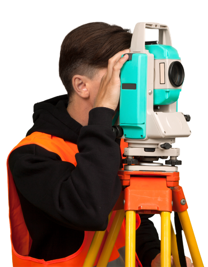
Výstupní data
veškeré výstupy jsou realizovány v digitální formě, obvykle ve formátu AutoCAD (*.dwg,*.dxf) nebo (Bentley Systems) Microstation (*.dgn), případně v jiném požadovaném formátu -3D model je realizován v prostředí Google Sketchup (freeware) a tím dostupný pro všechny budoucí uživatele a prezentace
fotogrammetrické vyhodnocení snímků provádíme v programu Elco Vision (Photo Mess Systeme, Switzerland)
veškeré zaměření je připojeno do souřadnicového systému S-JTSK a výškového systému Bpv.
dokumentace stavu objektů je naprosto komplexní, včetně návazností na okolní situaci a je tak nezbytným podkladem pro další projektové a rekonstrukční práce
zpracované zaměření je možné prezentovat v prostředí Google maps , v Google 3D Models a lze přidat přímý odkaz do Wikipedia